Everything it builds.
One panel, real places: OpenStreetMap and government survey data become streets, bridges, terrain and buildings in 3ds Max. Every family Citylith builds, what you get, and what is still on the way.
In testing built, being checked on real cities Coming in development, arrives in an update Pro · Studio in those plans only
Streets and levels
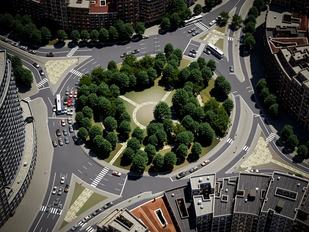
- Welded roads
- One surface for the whole network, junctions included, with rounded kerb returns. No stacked or overlapping road pieces.
- Real heights
- Bridges, ramps, underpasses and tunnels at their real levels, solved from the map’s layers and the survey ground.
- Sidewalks and kerbs
- Pavements along the road edge, kerb stones and crossings.
- Footpaths and steps
- From the map, each at its own level.
- Retaining walls
- Built wherever one level drops to another, so the ground never has a hole.
- Bridge structure
- Deck bodies, piers, towers and cables.
- Bridge typesIn testing
- Arch, truss and cable-stayed bridges shaped from their mapped outline, one deck per bridge, boardwalks and covered bridges.
- Barriers
- Parapets, railings, guard rails, jersey barriers, fences and hedges, as mapped.
- Rails
- Tracks and ties at their own level.
- Road markings
- Centre, lane and edge lines, bike and bus lanes, crosswalks and stop lines. Yellow centre lines in the US and Canada, mirrored for left-hand traffic.
Ground and water
- Survey ground
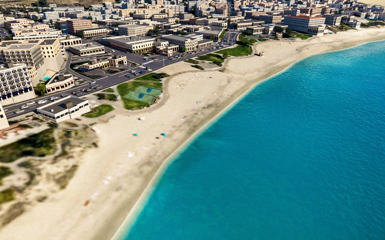
- Government survey ground in 24 countries and territories, in whole or in part, global elevation everywhere else. Every build stands on real terrain: when an elevation server is busy, the build waits and retries, then asks you to try again later. What to expect where
- Surfaces
- The ground banded by its mapped surface: grass, dirt, sand, gravel, paving and concrete. Where the map is silent, woods, grass and bare ground follow a land-cover survey, and cliff faces wear rock.
- Aerial photosPro · Studio
- Government aerial photographs draped on the ground in 22 countries, 5 to 60 cm a pixel. Satellite colour with ground textures everywhere else. Where
- Yards and poolsPro · Studio
- House yards by rule: a driveway square to its street, a bed round the walls and the lawn the aerial photo shows green. Mapped pools built as basins. Trees stand on the photo’s green.
- Rivers, lakes and the sea
- Water at its own level, the sea from the coastline.
- Shores
- Quay and sea walls where the shore is built up, natural slopes where it is not, decided metre by metre.
- Ground onlyComing
- Build just the terrain, or the terrain and the roads.
Buildings
- Official 3D buildingsPro · Studio
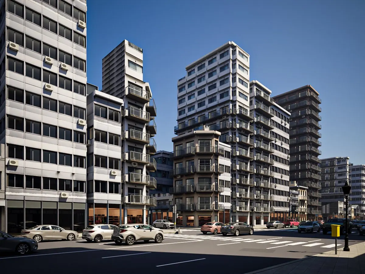
- Measured 3D buildings with their real roofs in the Netherlands, Switzerland, New York City, Vienna, the Japanese cities with official models, 14 German states and part of Estonia. Measured heights in France. Where
- Everywhere else
- Footprints and heights from the map, with 3D roofs where roof shapes are mapped, or low-poly blocks. A building the map gives no height takes one from the buildings around it, or is left out if you prefer.
- Buildings the map is missingIn testing
- Filled in from Microsoft’s open building footprints. The map always wins where it has the building, and nothing is added on bridges, water or roads.
- Roofs from LiDARIn testing
- Roof shape and height measured from LiDAR and surface models in the United States, England, France, Denmark, Norway, Poland and Czechia; house-sized homes get hipped roofs.
- Regional facades
- 140 textured sets in 19 regions, chosen by region, use and number of storeys.
- Roofs
- Roof textures per row and region, and flat-roof parapets with real thickness.
- Three levels of detailPro · Studio
- Every building is a textured box; around your project, switch on detailed facades in relief (set-in windows, sills, cornices, floor bands) and, right beside it, high detail. Measured from one centre you pick on the map, or the active camera. See the triangle count before you build.
- High detailStudio
- Real windows with rooms behind the glass, balconies, entrance canopies and lamps, awnings, wall and roof equipment. Shops lit by day. Each level is one object, easy to turn into a proxy.
- Night facadesPro · Studio
- Lit windows with one switch after the build.
Life in the street
- Traffic simulationPro · Studio
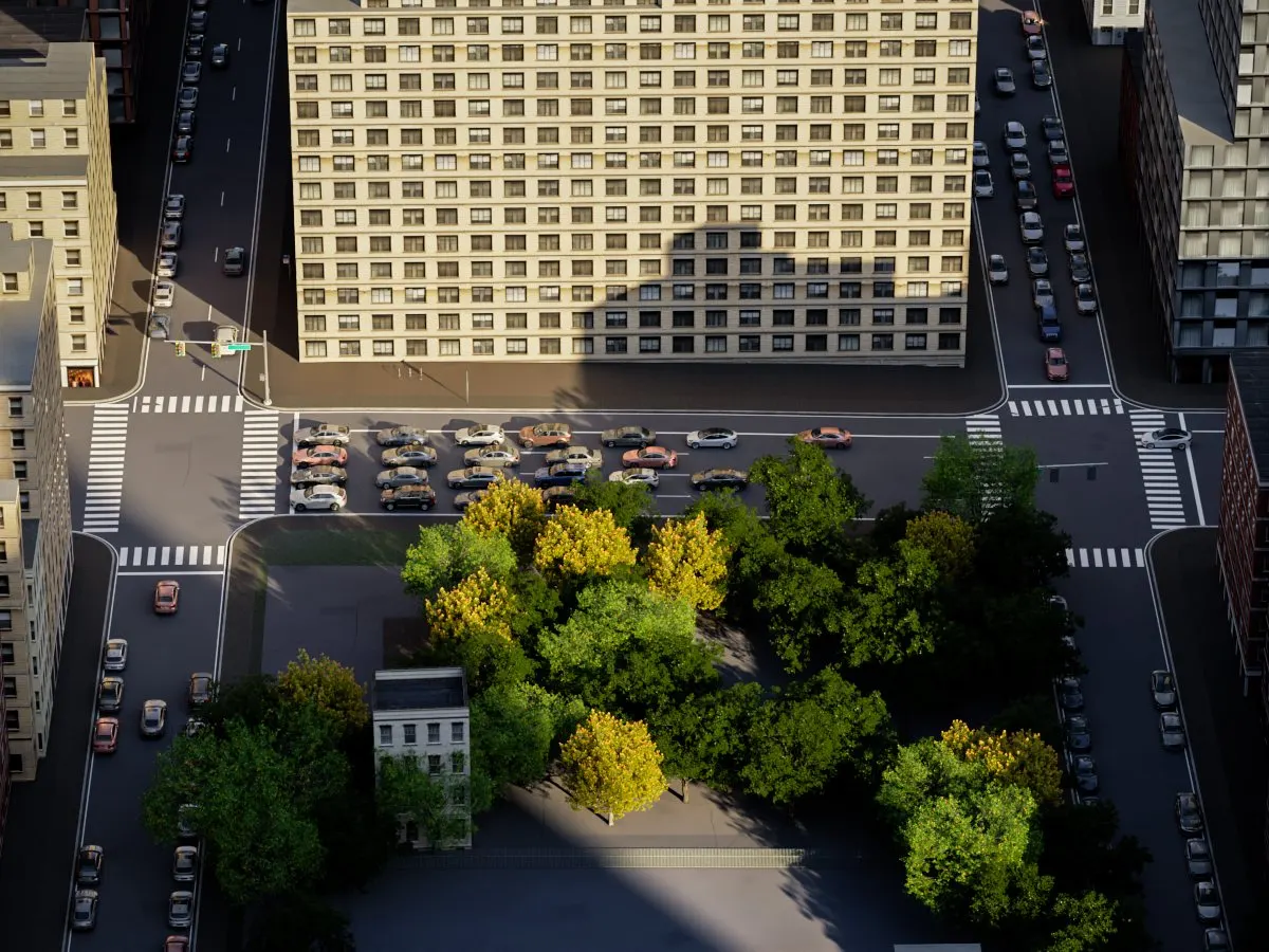
- Cars, SUVs, vans, trucks and buses driven on the built lanes: lights at mapped signals, queues before the crossings, buses in bus lanes. Heavy, normal, light or sparse.
- Parked carsPro · Studio
- Where the map marks parking.
- Car modelsPro · Studio
- Chaos Cosmos vehicles picked inside the panel, or one spline per car for your own library.
- Trees
- From the map’s trees and green areas. Forest Pack, the Chaos Cosmos tree picker, one proxy each, or splines.
- Street furniturePro · Studio
- Lamps, traffic signals facing their street, hydrants, benches and signs. CC0 models or simple placeholders.
Workflow and scale
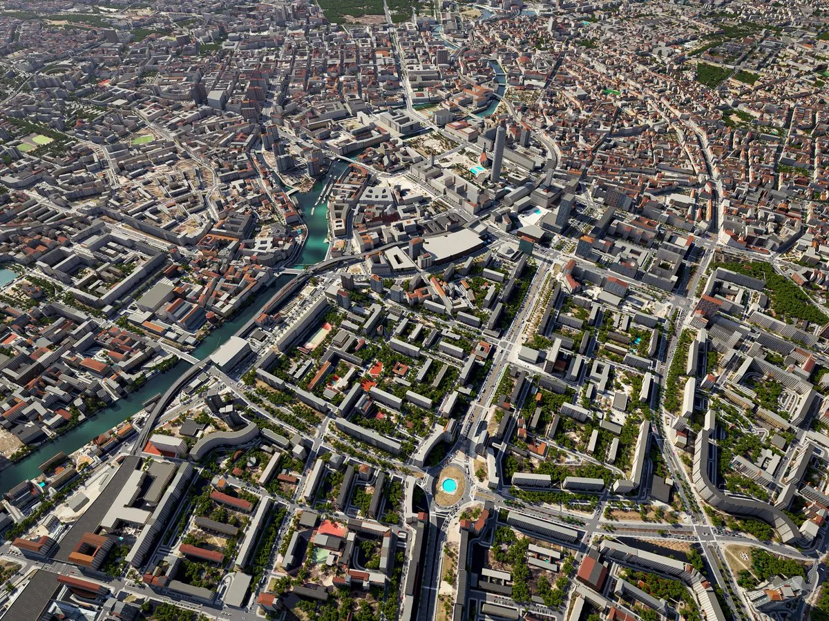
- Step-by-step panel
- Where, what, trees, cars and furniture, look, and build, with an estimated build time. Pages you do not need are skipped.
- Tiled buildsPro · Studio
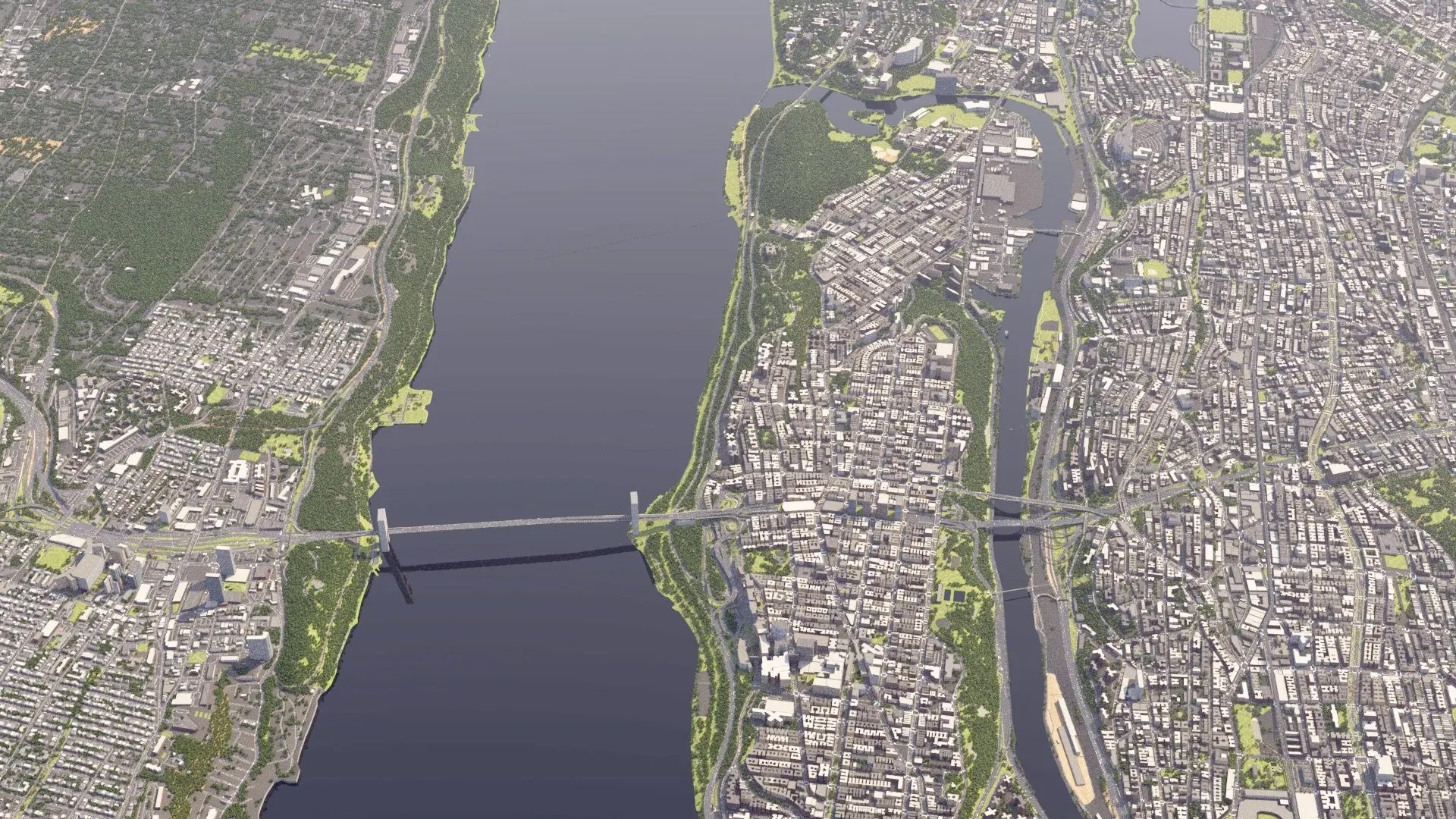
- Large areas as square tiles built outside 3ds Max, several at once, that fit together exactly. Pro builds up to 4 × 4 km.
- Whole citiesStudio
- A city by its name and outline. The panel shows its parts on a map of the area as they build, with the time left; the tiles come into 3ds Max as one object per family.
- Full detail near one point
- Pick a point and a radius: cars, trees, furniture, kerbs, markings, railings and facade depth stay inside the circle, and the ground and streets grow lighter past it. A big area or city opens fast.
- Continue a stopped build
- A build you stop goes on later from where it stopped. Stopped cities are listed by name.
- Layers
- Each family is one object on its own named layer, all under one Citylith layer.
- Rebuild that keeps your editsStudio
- Change materials, add modifiers, move, hide or delete objects, bind Forest Pack or RailClone to Citylith’s objects: a rebuild keeps all of it. Where the map changed under an object you edited, it asks. Undo the last rebuild with one click. For single-area builds; tiled cities are built again from the panel.
- Rebuild one familyStudio
- Rebuild only the streets and ground, the buildings, the trees, the furniture or the traffic, with the scene’s own settings. For single-area builds.
- What I changed
- A list of every change you made to Citylith’s objects since the build.
- Credits
- Each build names its data sources. Tiled cities get a credits file.
- Report a problem
- Send us a problem from the panel’s menu at any time.
- Updates inside 3ds Max
- A window shows what is new and downloads only the files that changed. Studio can switch on new features early.
Materials for V-Ray, Corona and Arnold
- Renderers
- Materials made for the active renderer: V-Ray, Corona or Arnold, with a Physical fallback.
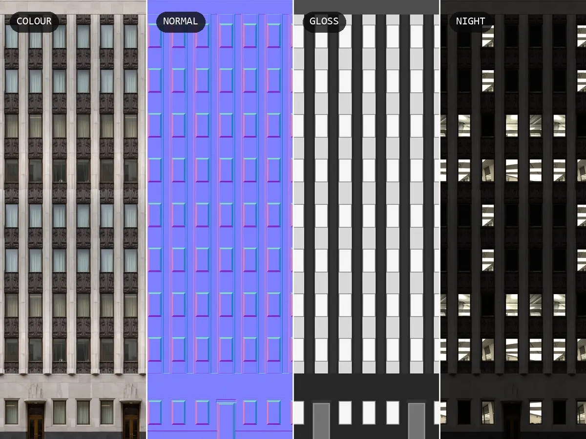
- Facade maps
- Each library facade carries colour, normal, gloss and reflection maps, and a night map with lit rooms behind the windows.
- Real sun
- A sun for the place, any date and time, picked on a calendar inside the panel.
- Textures
- CC0 textures for roads, paving, kerbs, barriers, ground, roofs and facades, with normal maps set up the way 3ds Max reads them.
Requirements
- 3ds Max
- 3ds Max 2024, 2025, 2026 and 2027 on Windows.
- Internet
- While building: the map, elevation and building data download for the area you pick.
- Optional
- Forest Pack for light scatters of trees, cars and furniture. Chaos Cosmos for car and tree models.
What it does not build
- Interiors
- Buildings are shells. Close-up windows show rooms painted behind the glass, not modelled rooms.
- Copies of individual buildings
- Facades are regional styles, not photos of the real building.
- What the map does not have
- Quality follows OpenStreetMap in that place. Some places come out cleaner than others.
- Google 3D Tiles or photogrammetry
- Citylith builds clean geometry you keep and can deliver.
- Moving cars
- Traffic is one still frame of the simulation for now.
- Exact roofs everywhere
- Measured roofs only where a government publishes them.
Images: the Los Angeles beach, the Barcelona junction, the Tokyo buildings and the New York traffic street are V-Ray renders of real Citylith builds; so is the Berlin city; the materials image shows one of Citylith’s CC0 facade textures and its maps.
Your next site. Already built.
Join the waitlist for the founders price and the first beta builds.
Join the waitlist